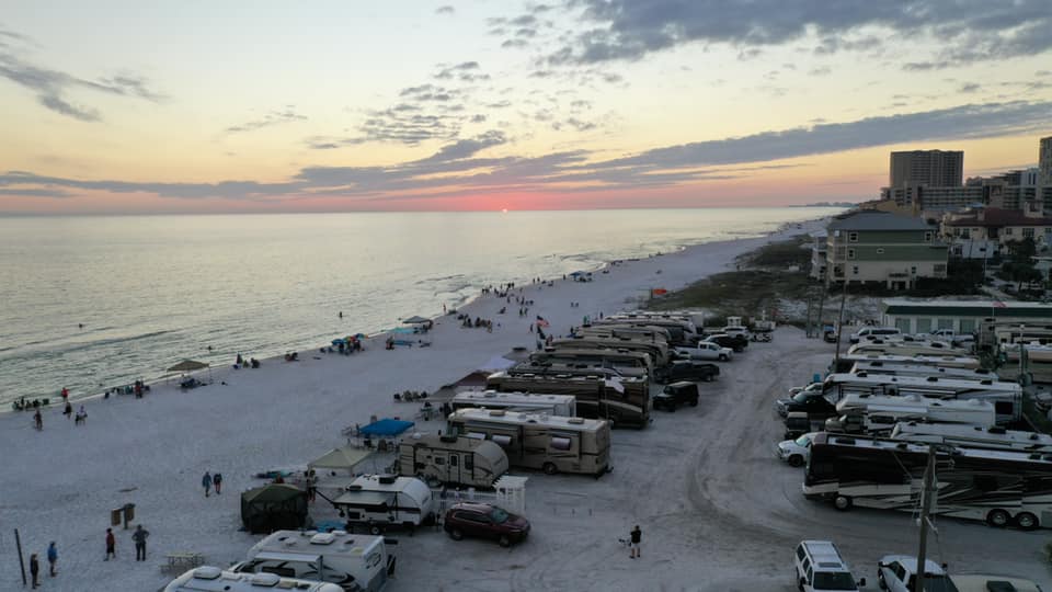
DRONE
Sites
DJI Drones are the best drones, they are perfect for beginners that want professional results
DroneDeploy is a powerful mapping application that can transform images you take with your drone into a high-resolution maps with information about plant health and terrain elevation, and provides tools for calculating distance, area, and volume.
Always have to have a good set of Filters and these are some of the best
This is a great article of Drone Filters from Dronesvue
Documents
My current Drone
I use my Drone for Insurance Property inspections, but sometimes when in No-Fly zones you need a quick fix.
How to Collect Quality Drone Data - Part 1_ Capturing Bare Earth
A Surveyor’s Guide to Drones _ Everything You Need to Know
A Surveyor’s Guide to Drones_ Selecting the Drone, Camera, and Licenses


")